DTforVR At the conclusion of the project, we expect to have an advanced and fully functional technology that synergistically integrates augmented reality, BIM/GIS platform, and IoT network for natural disaster prevention. Compared to current technology, there will be several significant differences. Firstly, our system will feature greater scalability and flexibility through the integration of static and dynamic data from IoT devices, enabling real-time monitoring and continuous updates of environmental conditions.
Furthermore, the virtual environment will be significantly enhanced, offering a more accurate and interactive representation of natural hazards and emergency procedures. User interfaces will be intuitive and engaging, facilitating user understanding and interaction with the system. Ultimately, we anticipate that our technology will have a significant impact on natural disaster prevention and management, enhancing the safety and resilience of vulnerable communities worldwide.
1. Implementation of IoT Network Integration:
During the project, a key step will be implementing a robust IoT network to enable scalability of the BIM/GIS/IoT platform. This will involve designing and installing IoT devices for continuous monitoring of static and dynamic data related to flood and landslide risks. Additionally, developing a data management system will be necessary to ensure regular updates and real-time accessibility of this information. This step is crucial for effectively connecting the virtual and real worlds, providing users with the ability to interpret and utilize monitored data for disaster prevention and management.
2. Development of Interactive Virtual Environment:
Another key step of the project will be the development of an interactive and innovative virtual environment. This process will require creating an accurate digital representation of the area of interest, integrating geospatial data and BIM models to provide a detailed overview of existing natural hazards. It will also be important to design and implement intuitive and engaging user interfaces that allow users to explore the virtual environment, access information on risks, and learn proper alarm and emergency procedures. This virtual environment will play a fundamental role in educating and raising awareness among the local population about natural hazards, and instilling safe and responsive behaviors in case of emergencies.
Once proven effective and versatile, this technology could find numerous applications beyond the initial project scope. For example, it could be adopted in other geographical areas prone to similar natural risks, adapting BIM and GIS models to local specifications. Additionally, IoT network integration could be expanded to other environmental monitoring situations, such as seismic risk management or extreme weather conditions.
The interactive virtual environment could also be used for educational and training purposes outside the context of natural disaster prevention. For instance, it could be used for emergency responders' training, environmental education in schools, or public awareness campaigns on climate change and environmental sustainability.
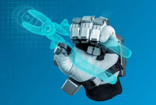
Moreover, considering the growing popularity of augmented reality and wearable devices, there may be a market for customized applications that provide real-time safety and environmental condition information to individuals during their daily activities, such as mountain hikes or walks in potentially hazardous areas. In summary, the potential future applications of this technology are broad and varied, and could significantly contribute to safety, education, and environmental awareness in various contexts.

